


The Land Before Time
On the north side of Mono Lake near Lee Vining, California are the not so well known Black Point Fissures. One of my training officers had told me about them but I waited a couple of years before trying to find them. Once we did, they were kind of cool!

HISTORY
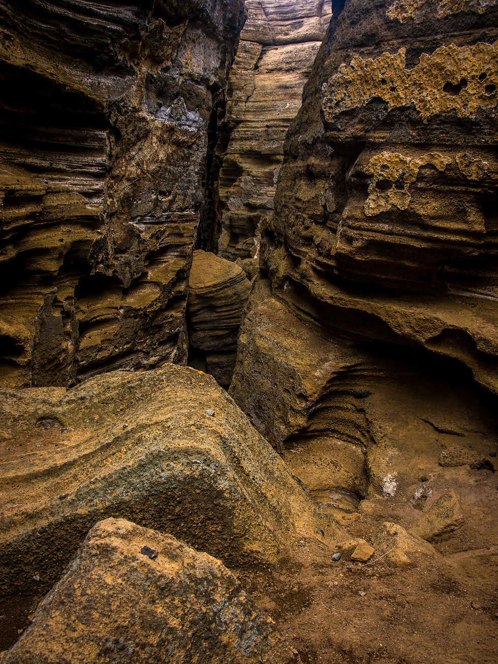
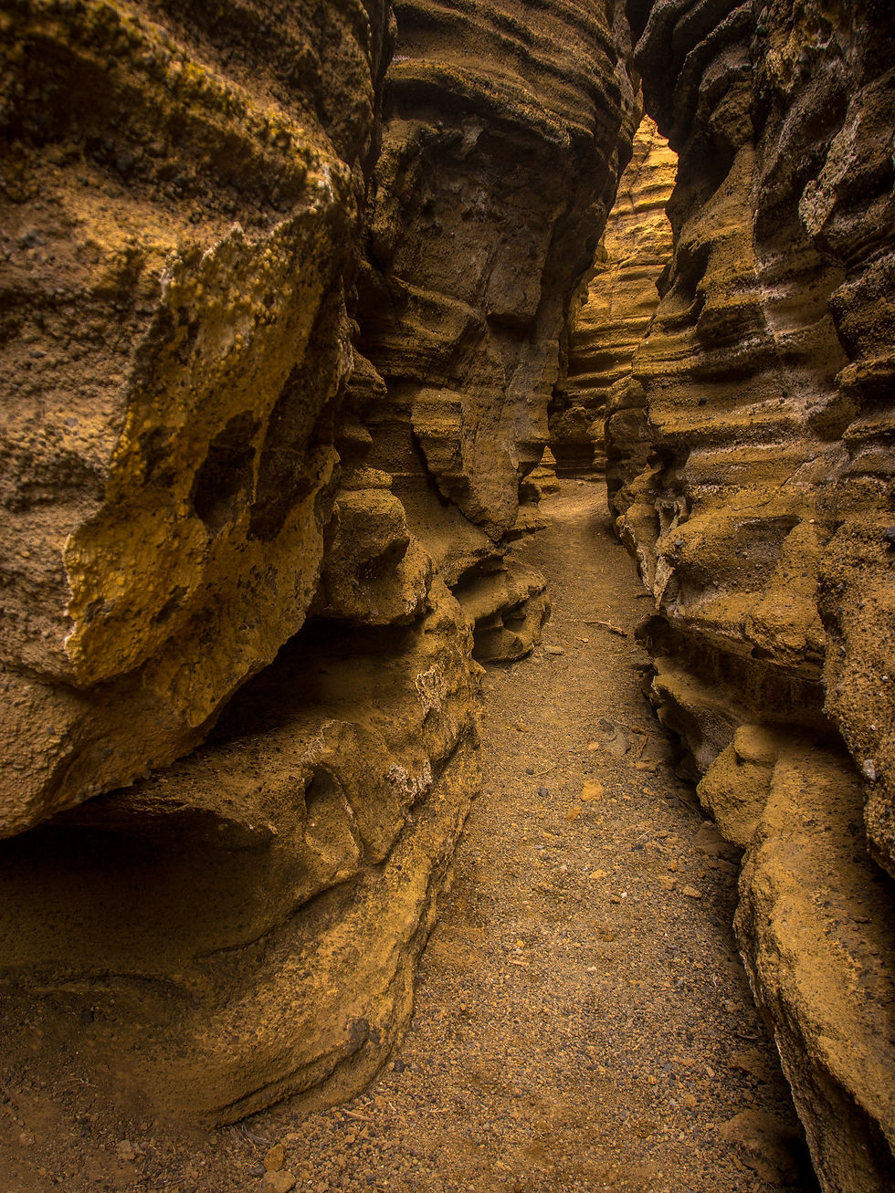
About 13,000 years ago, near the end of the last Ice Age, the Black Point Volcano erupted beneath Mono Lake, which was much deeper then. As the cinders and lava cooled and hardened under the water, the top split open and formed several cracks, each about a hundred yards long. The fissures range from 20 to 50 feet deep, but are only a couple feet wide. Black Point is thought to be the only fully exposed underwater volcano on earth.
THE HIKE
We eventually found the trailhead. Well, let’s just say that we found the kiosk with a bunch of information about the fissures and the local area. Trail? No trail, yet a million trails! You basically head off cross country towards the fissures. This is that kind of terrain that you go two steps forward, one step back. As you head up the hill, you keep sliding on the volcanic cinders. It’s a workout. You are pretty happy to see the top!
When you get to the top you start stepping over the fissures in the narrow places. Mike went ahead to try and find an entrance to the fissures. There are several entrances that can be used. Mike found a doozey of one that went all the way out to the lake. It was really cool.
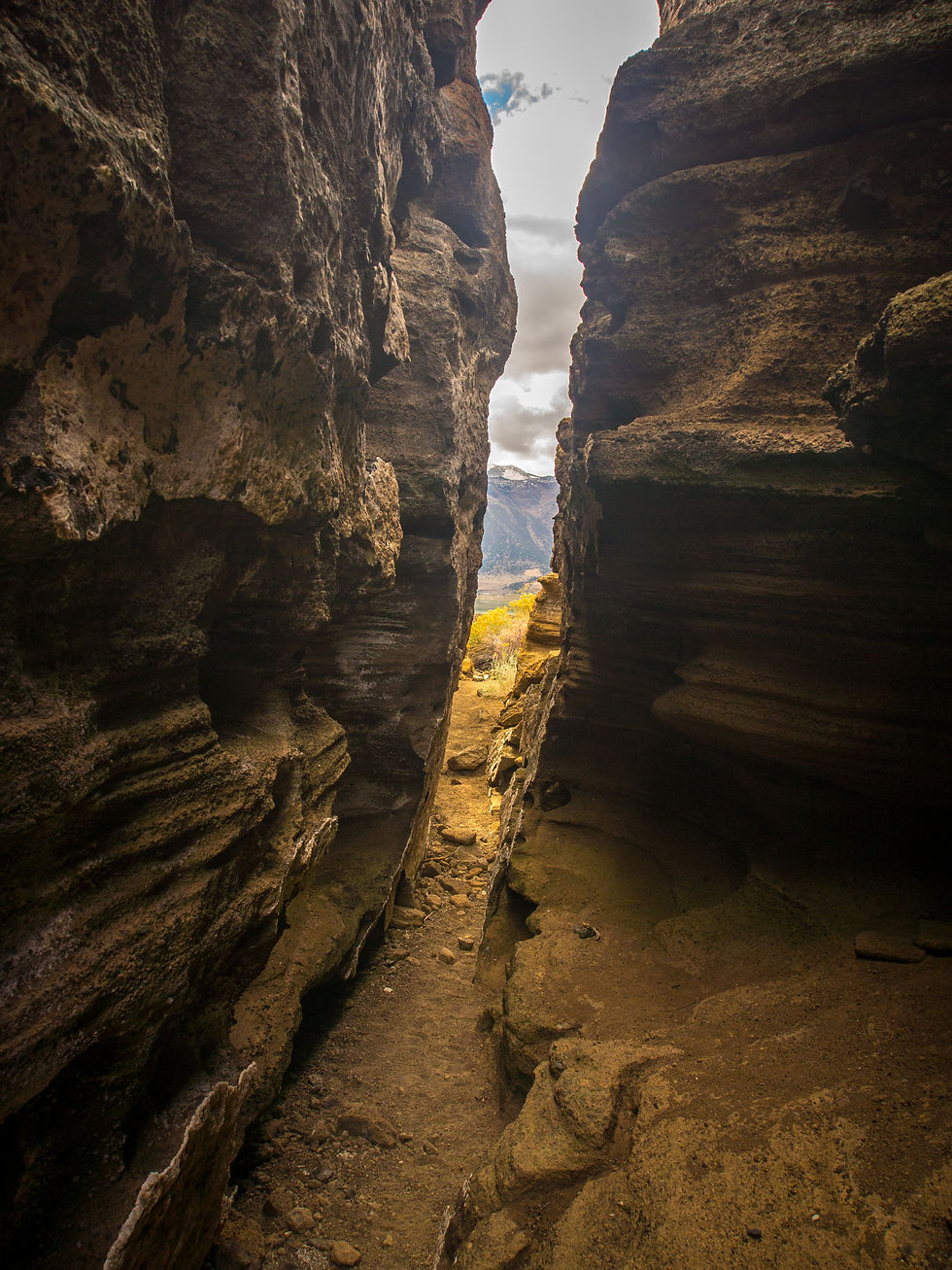

THE VIEW
Mike went off exploring and I stayed in the one big fissure to photograph. I finally ventured out to find Mike kicking it enjoying the view.

DIRECTIONS:
From the junction of Highway 395 and Highway 120 near Lee Vining, go north 4.3 miles. Turn at the clearly marked right hand turnoff for a well-paved Cemetery Road. Pass the old boneyard in about a half mile. The road becomes unpaved but graded.
Go straight at the first junction with a private road to the right. After driving 3.7 miles from Hwy 395 on Cemetery Road, take a poorly marked right turn onto an unnamed dirt road to Black Point. After driving 2.6 miles on the unnamed road, going by a couple of small junctions. The road dead-ends at a parking lot with some interpretive signs.